
The Hastings Cutoff crosses almost 90 miles of northeastern Nevada. Entering Nevada near Wendover, it roughly parallels Interstate 80 until it rejoins the California Trail west of Elko NV. While the corridor of the Cutoff has been identified, the trail itself has not been formally mapped in this region.
The CTHA has undertaken a long term project to identify the trail’s location on the ground using OCTA’s Mapping Emigrant Trails (MET) standards.
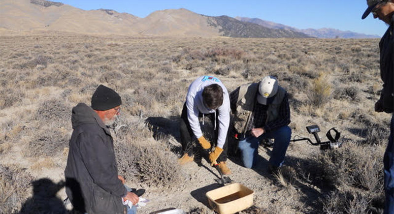
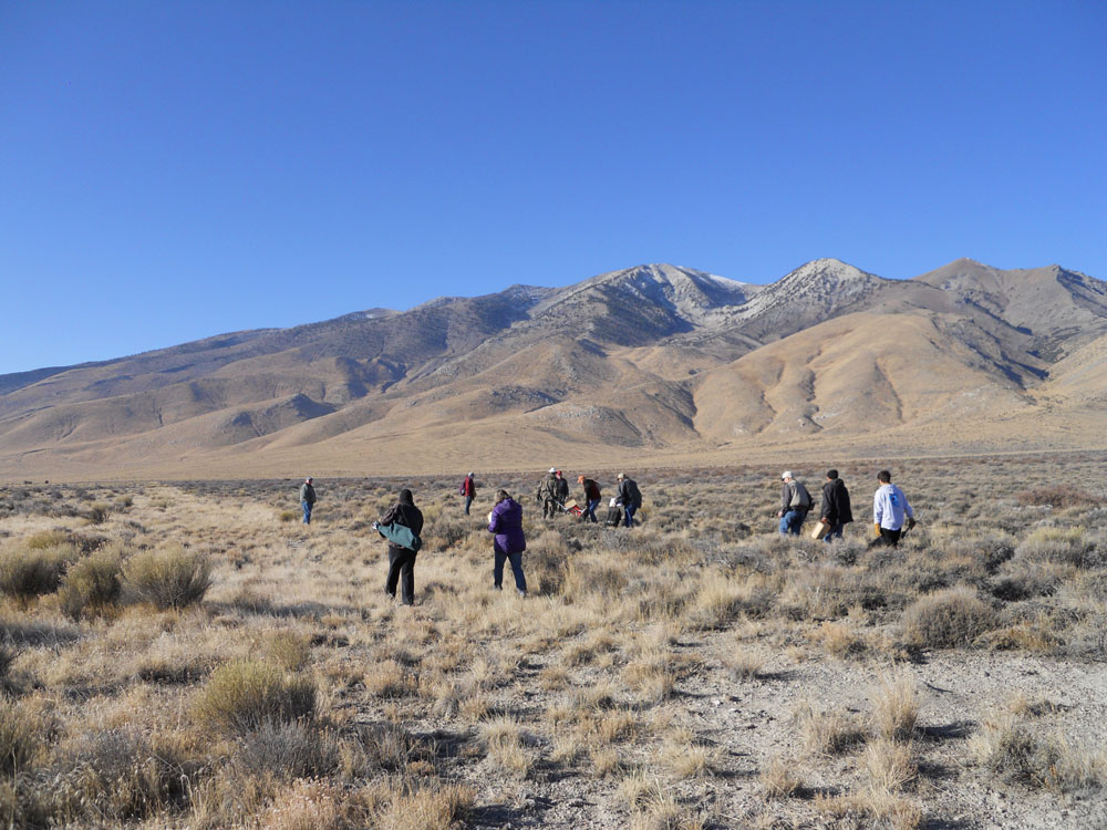
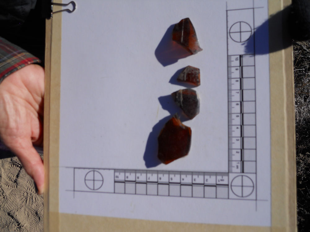
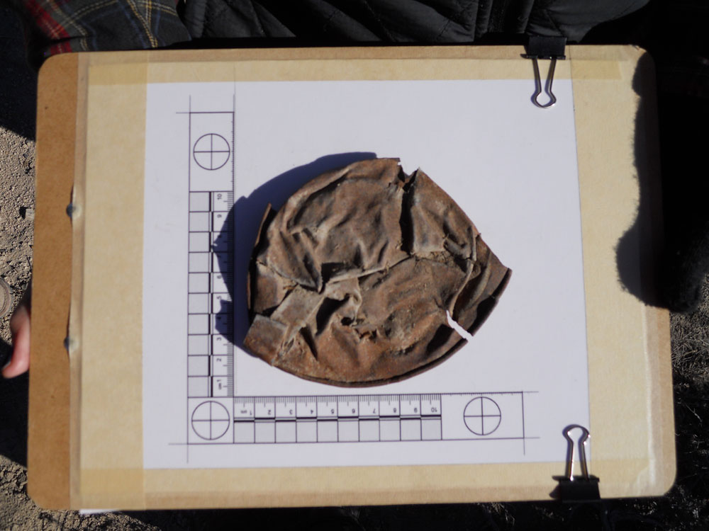
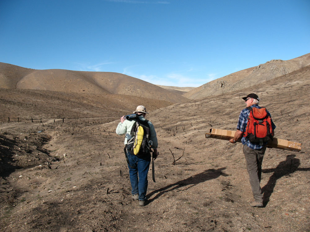
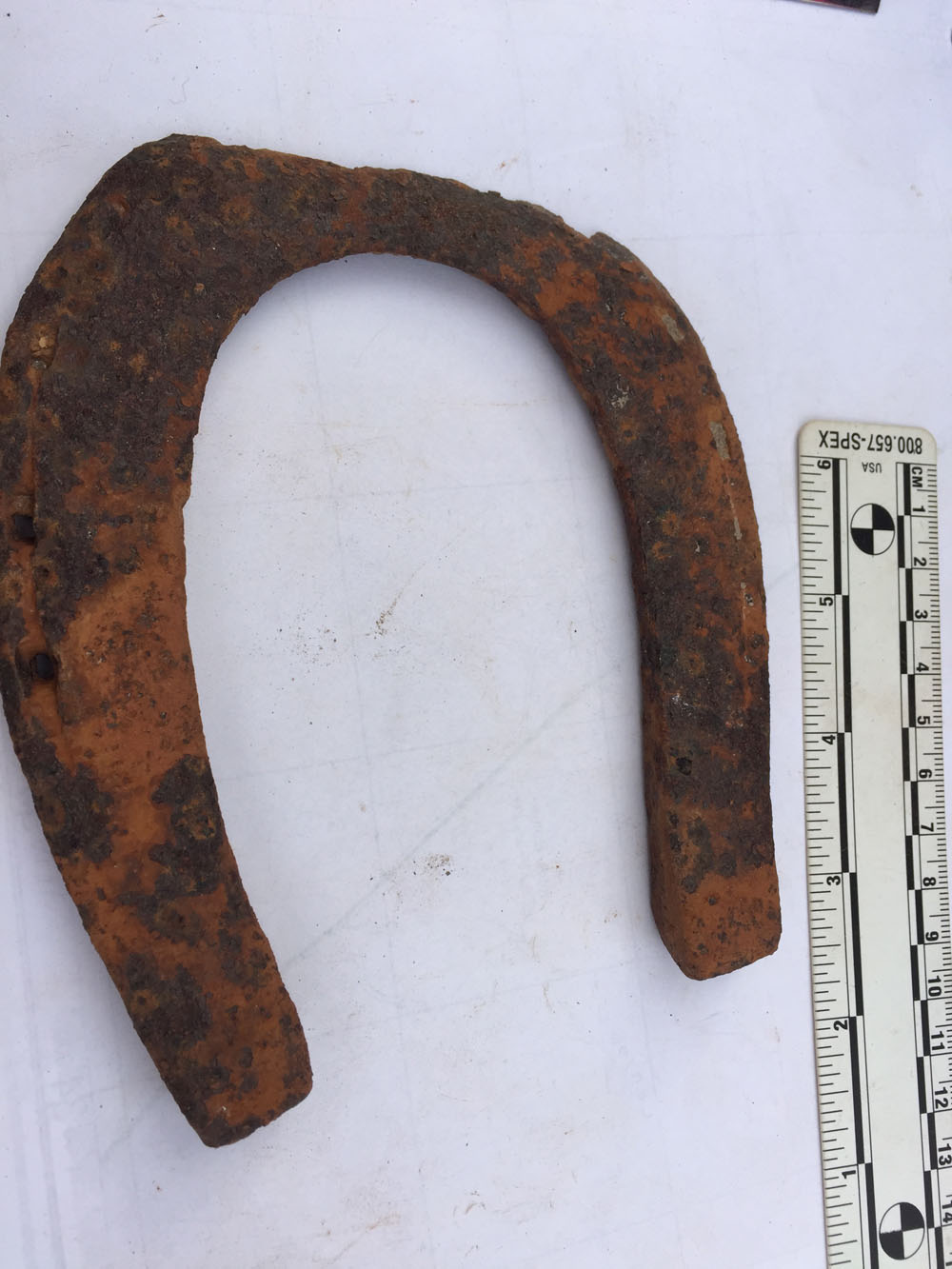
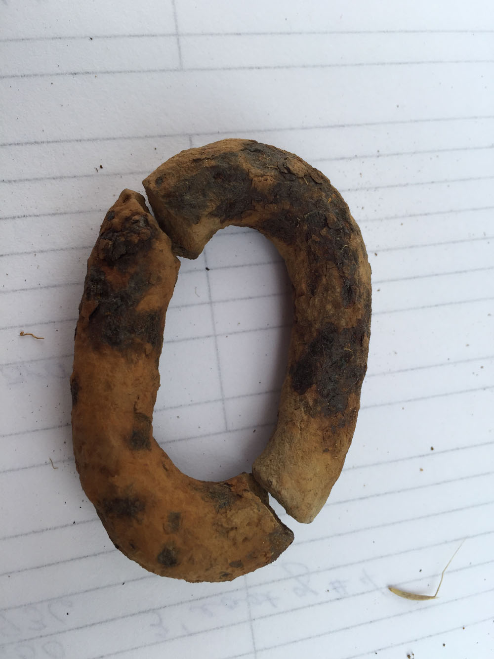
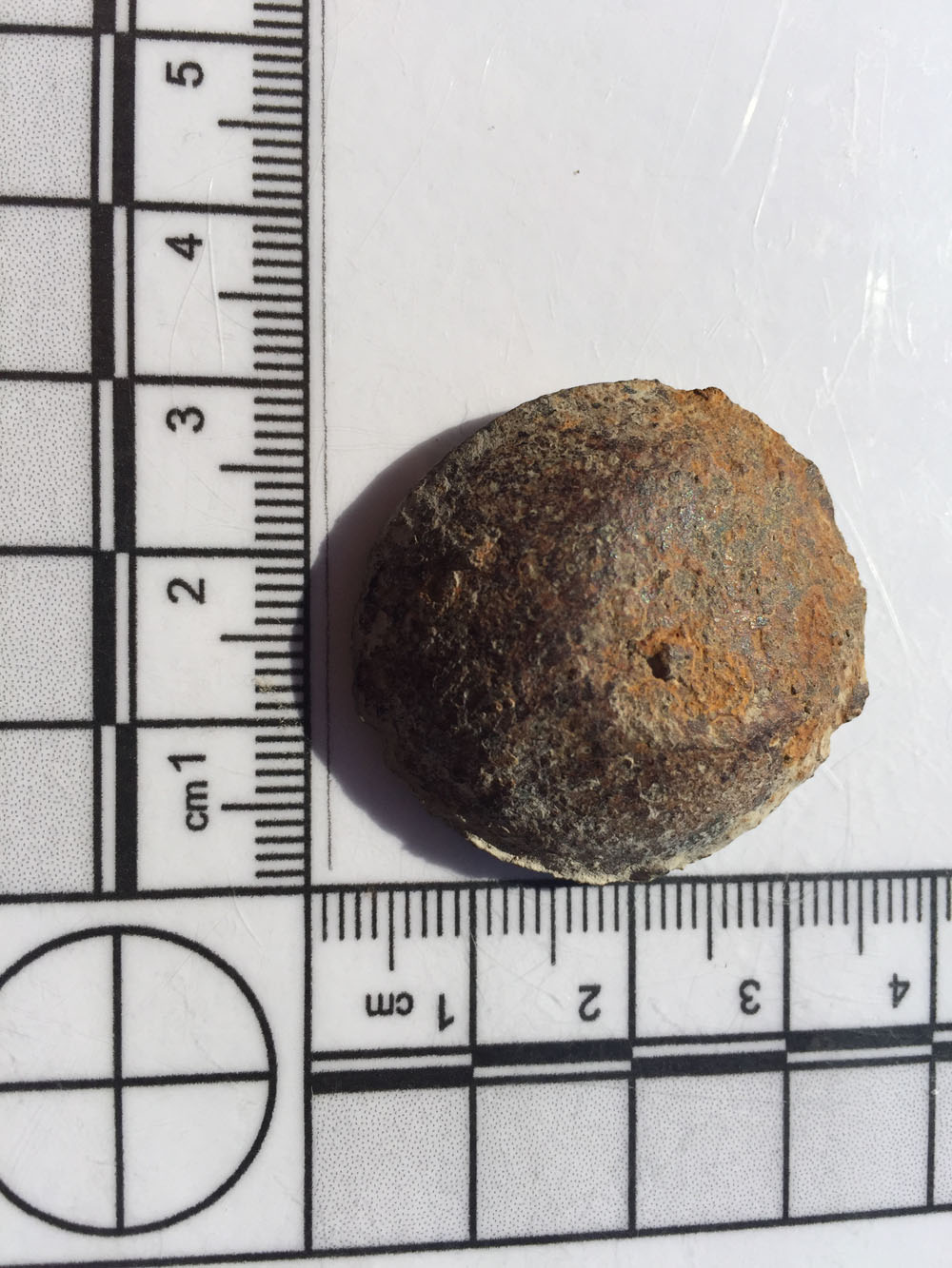
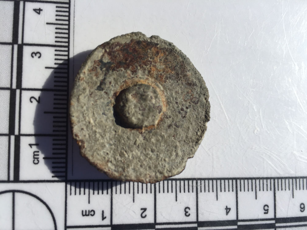
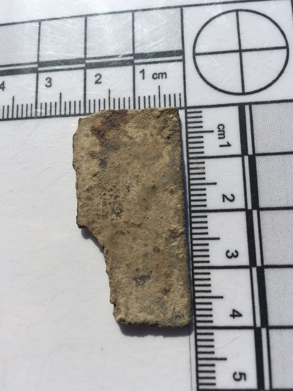
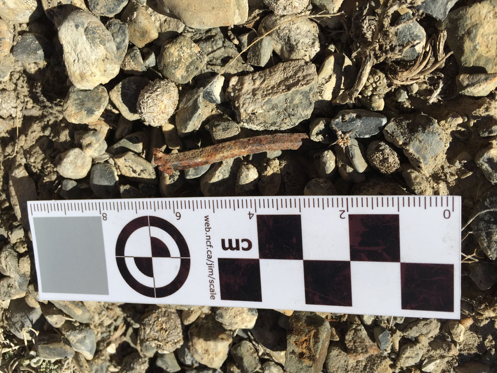
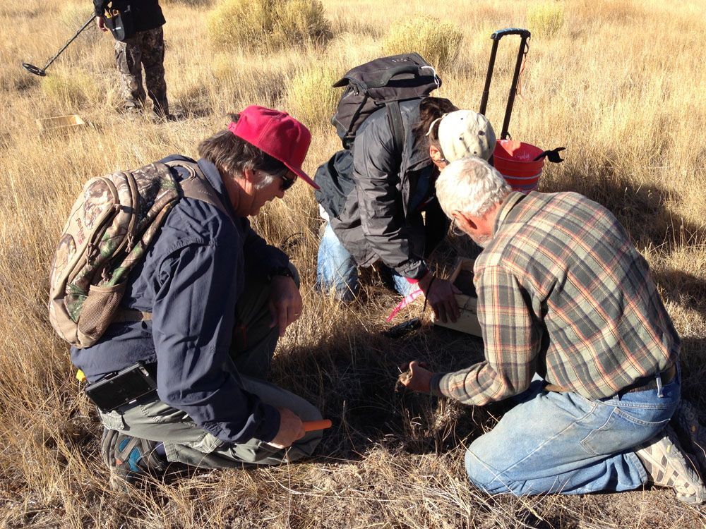
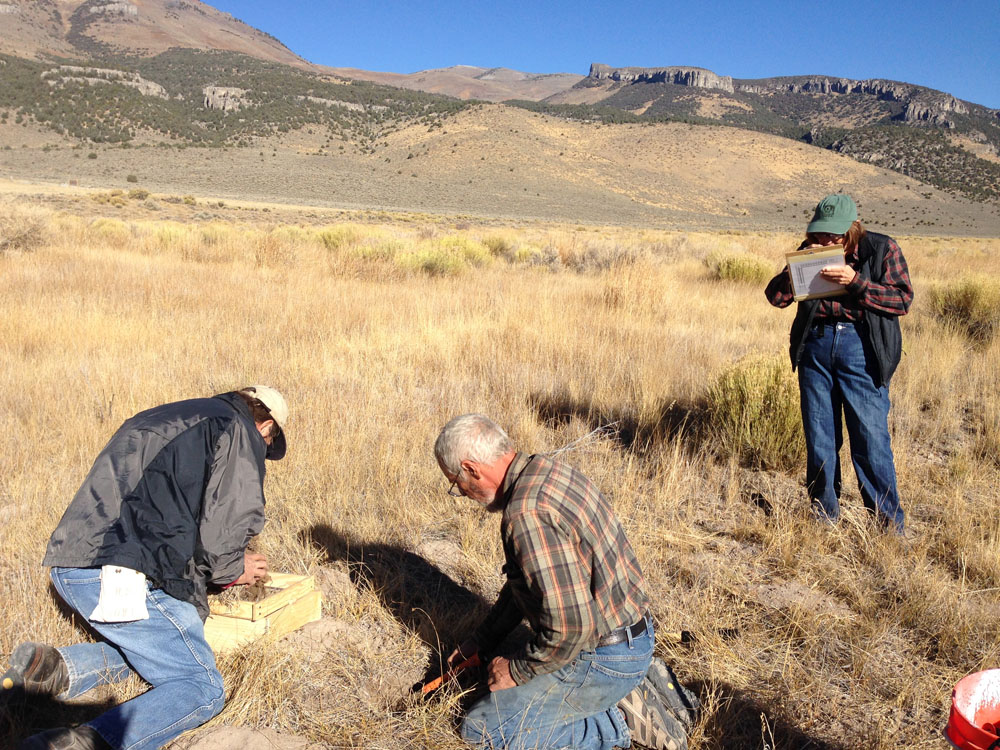
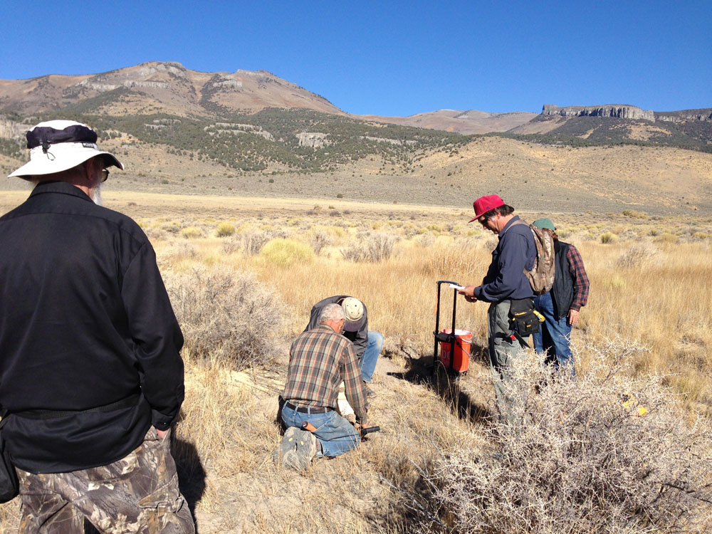
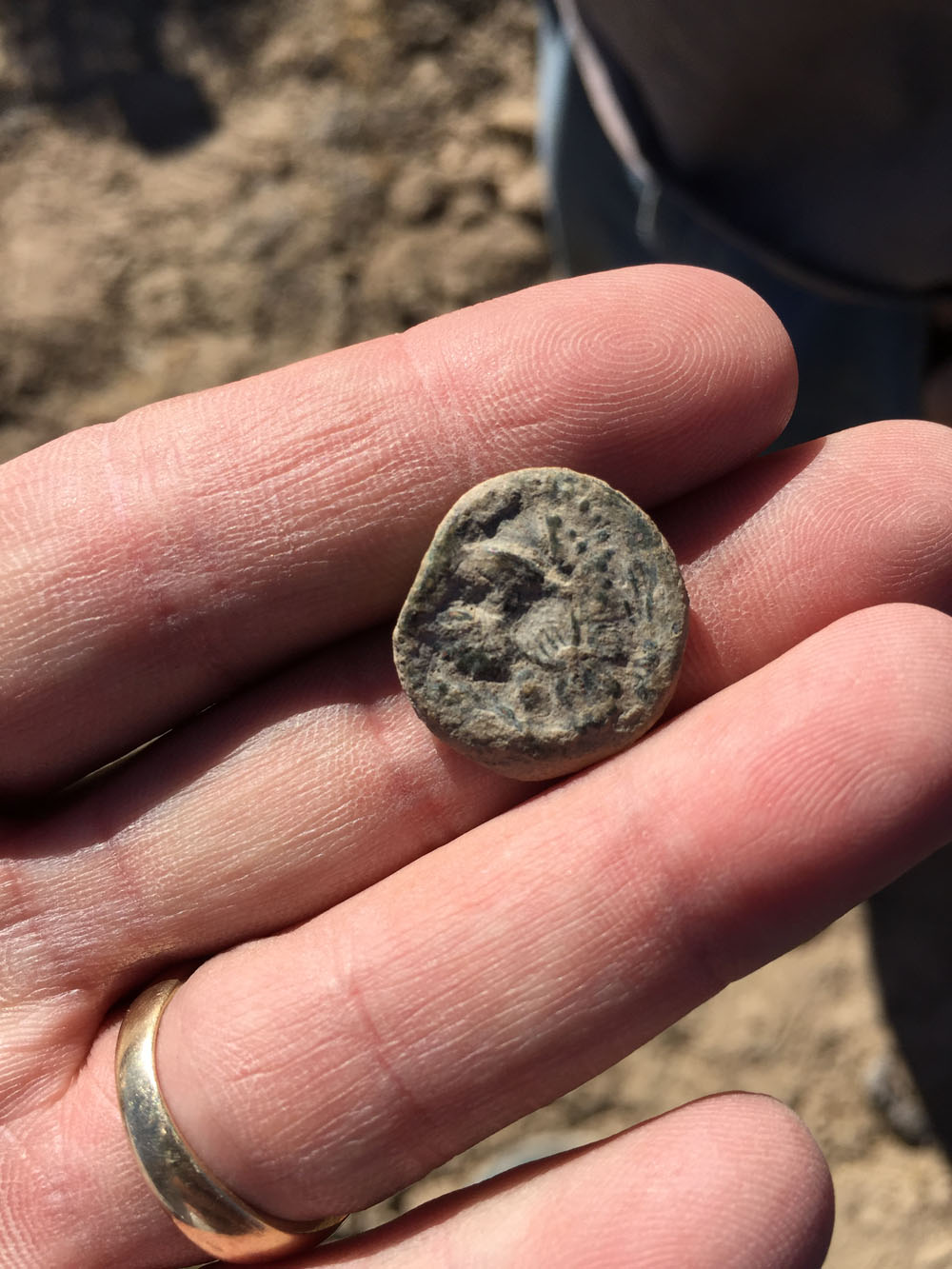
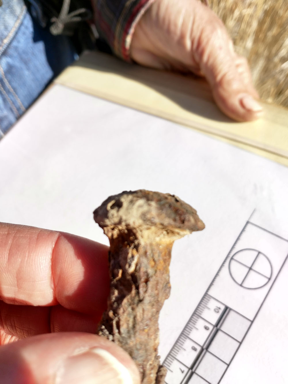
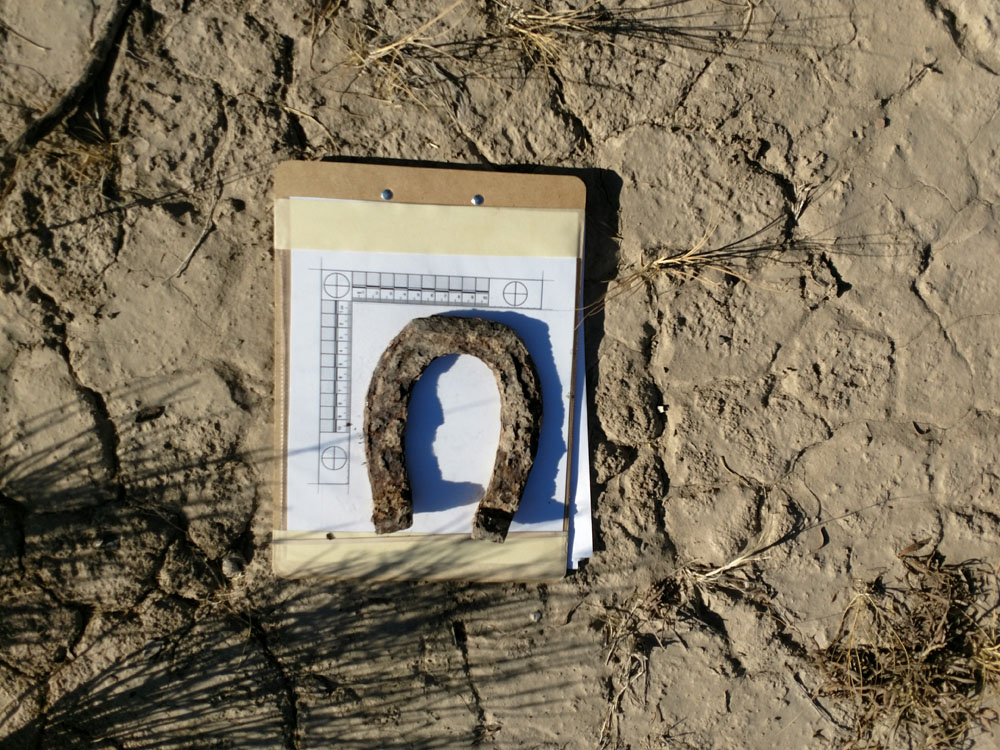
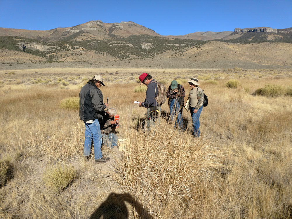
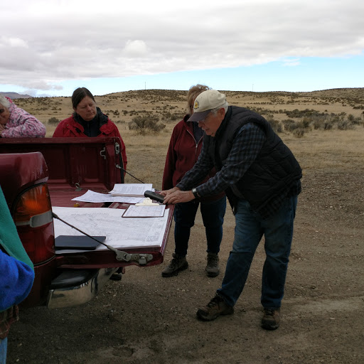
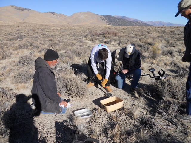
CTHA is mapping the Hastings Cutoff in Ruby Valley NV on both private and federal lands (with permits) to determine the location of the trail. Initial steps include a detailed review of maps, journals and diaries from the emigrant era, field reconnaissance of the area to be mapped, and identification of the most probable route based on the topography and the research information. Then metal detectors are used to scan the likely path to find metal artifacts. These are described, measured, catalogued, and photographed. They are re-buried unless the land owner or manager dictates otherwise. None are retained by CTHA. Particular artifacts such as ox shoes can be a clear indication that the emigrants passed through an area. A multi-year cooperative mapping project is planned with the Bureau of Land Management (BLM) on BLM-managed lands as part of long term trail protection and preservation.
“….for here the road from Fort Hall joins that by way of Hastings Cutoff (which might better be called Hastings Longtripp.” — Heinrich Lienhard, September 8, 1845.
“…never take no cutoffs and hury along as fast as you can,” –Virginia Reed in a letter in 1847
